From the time of the Greeks and Romans up through the Middle Ages, one of the most common materials for writing was parchment (untanned animal skin). Due to the labor intensive process involved in transforming an animal hide into a writing surface, parchment was quite expensive, and it became an accepted practice to reuse parchments by erasing the writing on them. The erased texts might be legal or liturgical texts which had been rendered obsolete by changes in law or church policy. These reused parchments are known as palimpsests, which in the original Latin literally means: “scraped clean and ready to reuse”. Even after the cleaning process, the marks left from the first writing on the surface might still be discernable, if you know how to look at it.
Today, the obsolete text that was erased and overwritten may be of even greater interest to historians than the visible text, as it can reveal information that would have otherwise been lost to history. There are teams of conservationists at libraries and museums worldwide dedicated to reading these hidden texts using the latest in photography and x-ray technology.
Peeking under the obvious to discern prior information can be applied to more than just a parchment. Land is a palimpsest of all of world history, built up in layers over time. While geologists study the layers of earth and rock for miles beneath the surface, I find the scars left on the surface endlessly fascinating.
With a few notable exceptions such as the Navajo Cliff Dwellers of the Southwest and the Mound Builders of the Mississippi River valley, mankind left few marks on the face of what became the United States until the white man arrived from Europe. Once the settlers began, however, they haven’t stopped building, razing, and rebuilding since.
Even roads are constantly being realigned, straightened, and leveled to accommodate more, larger, and faster traffic. I find studying old maps of the area where I live intriguing, but getting one’s bearings can be challenging due to the realignment of the roads. Even more challenging are areas that now lie underwater due to the number of reservoirs built to supply area steel mills. I once racked my brain trying to determine whereabouts an old textile mill shown on a 1876 map had been located before realizing it now lies beneath the surface of the Quemahoning Reservoir.
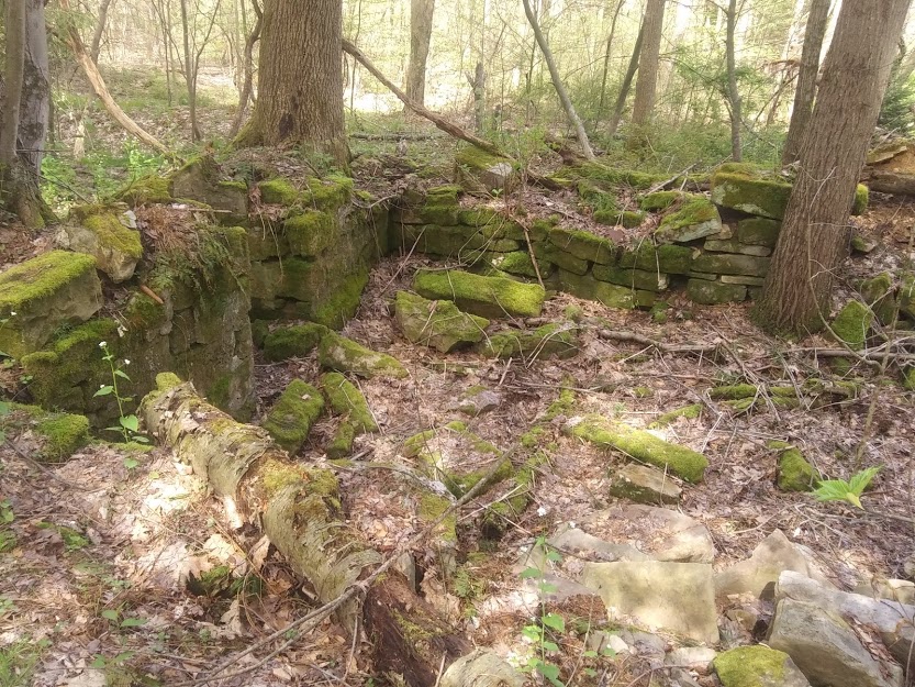
Driving or walking around a rural area with a keen eye will reveal many clues to the history of a place. As a child, I was fascinated by stone foundations in the woods near my home that marked out the location of houses and barns abandoned when the land was purchased to protect the watershed that Johnstown’s drinking water was drawn from. One of those small farmsteads was the childhood home of my grandfather and his mother before him. Standing in the middle of the foundation of what was once the house, one is stuck both by how much smaller homes were in the late 1800s, and the rapid passage of time, with sizable trees already growing through foundation stones not abandoned until the early 1950s.

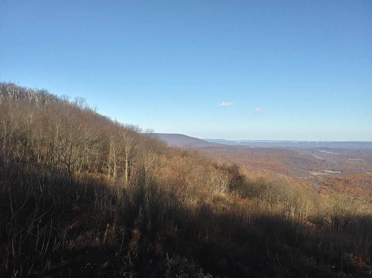
I wonder if the gently rolling farmland I see was always so gentle, or if it has only been made so by two centuries of spring plowing gently wearing off the rough edges. When walking through the woods, am I seeing the forests as the first pioneers did, or did the forests grow back differently, with a different blend of tree species, after being clear-cut in the 1890s?

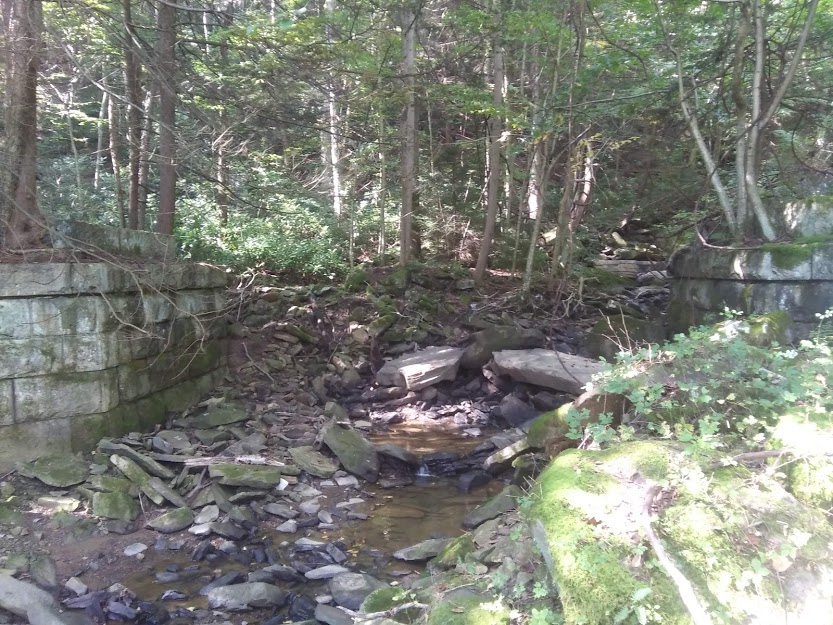
In many places, there is no question of human influence on the topography, as strip mining for coal has a long history in the area. Buildings sit empty, or are repurposed, sometimes with clues to the original use still present. With their high canopies, old filling stations are easy to identify, even without the tell-tale gasoline pumps. In the woods of the Stonycreek Canyon, the old grade of a trolley line that followed the river from Johnstown towards Windber is still visible.

I also wonder about those who passed without leaving marks. Which roads might follow ancient buffalo paths and Indian hunting trails? Were Native American villages once located in the same place as modern towns?
(The fact that relatively little evidence of Indian settlement has been uncovered in Somerset County, PA, home of some of the most unpleasant weather in the state, might be taken as proof that we are not quite as bright as they were.)
Much like the Novgorod Codex (a so-called super-palimpsest where wax tablets were erased and rewritten hundreds of times by the owner), not all the past markings on the land can be deciphered. But I find the attempt worthwhile, to be reminded that we are not the first, or last, to pass this way.

Recent Comments